


Ammerschwihr

Arnaud Dejean
User

Length
13.3 km

Max alt
712 m

Uphill gradient
577 m
Km-Effort
21 km

Min alt
245 m

Downhill gradient
568 m
Boucle
No
Creation date :
2020-08-07 07:28:59.634
Updated on :
2020-08-07 11:08:34.068
3h00
Difficulty : Easy

FREE GPS app for hiking
 SityTrail
IGN / Geographical institutes
SityTrail Plus
The world is yours!
About
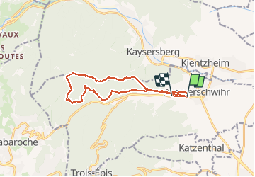
Trail Walking of 13.3 km to be discovered at Grand Est, Haut-Rhin, Ammerschwihr. This trail is proposed by Arnaud Dejean.
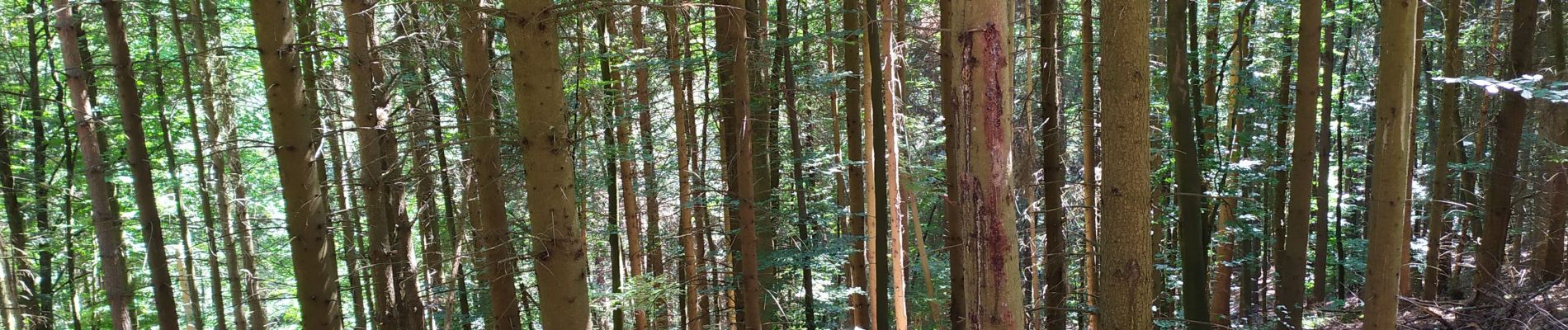
Photos

Positioning
Country:
France
Region :
Grand Est
Department/Province :
Haut-Rhin
Municipality :
Ammerschwihr
Location:
Unknown
Start:(Dec)
Start:(UTM)
371845 ; 5331588 (32U) N.
Comments