


puig de sallfort depuis coll de vallauria

stef789
User GUIDE


Length
11.4 km

Max alt
966 m

Uphill gradient
637 m
Km-Effort
19.9 km

Min alt
393 m

Downhill gradient
638 m
Boucle
Yes
Creation date :
2020-08-08 11:59:14.367
Updated on :
2020-08-08 19:21:30.719
5h07
Difficulty : Medium

FREE GPS app for hiking
 SityTrail
IGN / Geographical institutes
SityTrail Plus
The world is yours!
About
Trail Walking of 11.4 km to be discovered at Occitania, Pyrénées-Orientales, Banyuls-sur-Mer. This trail is proposed by stef789.
Description
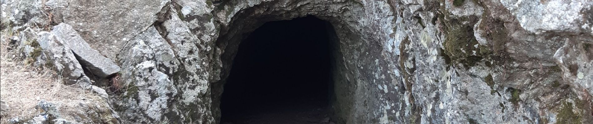
montee raide tres pénible sous canicule de 36° sans vent... - retour : la descente depuis le pic est au début hors chemin - appréciez le passage dans le tunnel
Photos


Positioning
Country:
France
Region :
Occitania
Department/Province :
Pyrénées-Orientales
Municipality :
Banyuls-sur-Mer
Location:
Unknown
Start:(Dec)
Start:(UTM)
505717 ; 4703436 (31T) N.
Comments