


villers st Gertrude

Chanchan63
User
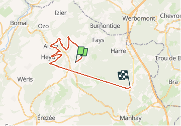

Length
22 km

Max alt
500 m

Uphill gradient
891 m
Km-Effort
33 km

Min alt
168 m

Downhill gradient
647 m
Boucle
No
Creation date :
2020-08-14 09:11:59.86
Updated on :
2020-08-14 19:10:03.672
4h13
Difficulty : Easy

FREE GPS app for hiking
 SityTrail
IGN / Geographical institutes
SityTrail Plus
The world is yours!
About
Trail Walking of 22 km to be discovered at Wallonia, Luxembourg, Manhay. This trail is proposed by Chanchan63.
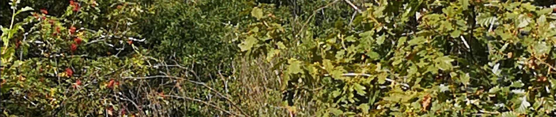
Photos


21 photos in total. Please click on a photo to see them all in the gallery.
Positioning
Country:
Belgium
Region :
Wallonia
Department/Province :
Luxembourg
Municipality :
Manhay
Location:
Harre
Start:(Dec)
Start:(UTM)
685035 ; 5579813 (31U) N.
Comments