


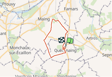
la querenaingeoise trace faite

papiou
User


1h33
Difficulty : Very easy

FREE GPS app for hiking
 SityTrail
IGN / Geographical institutes
SityTrail Plus
The world is yours!
About
Trail Walking of 9.1 km to be discovered at Hauts-de-France, Nord, Quérénaing. This trail is proposed by papiou.
Description
rdv place bacs parking salle des fêtes. Dos au CD descendre rue des eglantiers jusqu'aux champs et suivre trace sur appli, circuit non balisé. attention à la fin du circuit route en pavés ceux de Paris Roubaix.
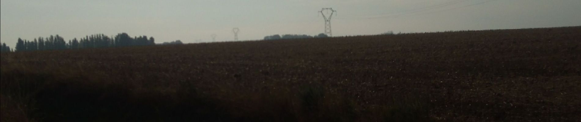
Photos


Positioning
Comments