


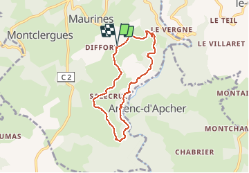

10.3 km | 14.4 km-effort


User


FREE GPS app for hiking
 SityTrail
IGN / Geographical institutes
SityTrail World
The world is yours!
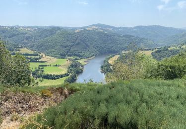
Trail Walking of 7.3 km to be discovered at Auvergne-Rhône-Alpes, Cantal, Maurines. This trail is proposed by mamyzine.
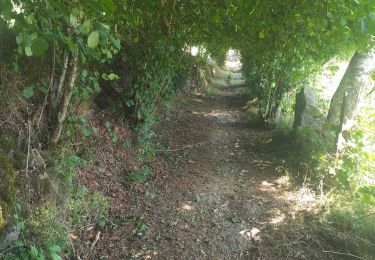
Rando difficulté moyenne Les passages dits délicats sont assurés par une main courante.
Walking

On foot

Walking
Walking
Walking
Walking
Walking
Road bike
Walking
de GILOU440, BELLE BALLADE.