


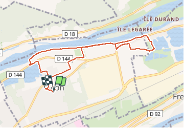
Cléon vers Bédane le long de la Seine

MichelRando7656
User

Length
9.1 km

Max alt
12 m

Uphill gradient
49 m
Km-Effort
9.7 km

Min alt
2 m

Downhill gradient
49 m
Boucle
Yes
Creation date :
2020-08-18 07:11:50.074
Updated on :
2020-08-18 10:15:29.314
3h02
Difficulty : Medium

FREE GPS app for hiking
 SityTrail
IGN / Geographical institutes
SityTrail Plus
The world is yours!
About
Trail Walking of 9.1 km to be discovered at Normandy, Seine-Maritime, Cléon. This trail is proposed by MichelRando7656.
Description
Chemins de terre le long de la Seine et à travers la campagne.
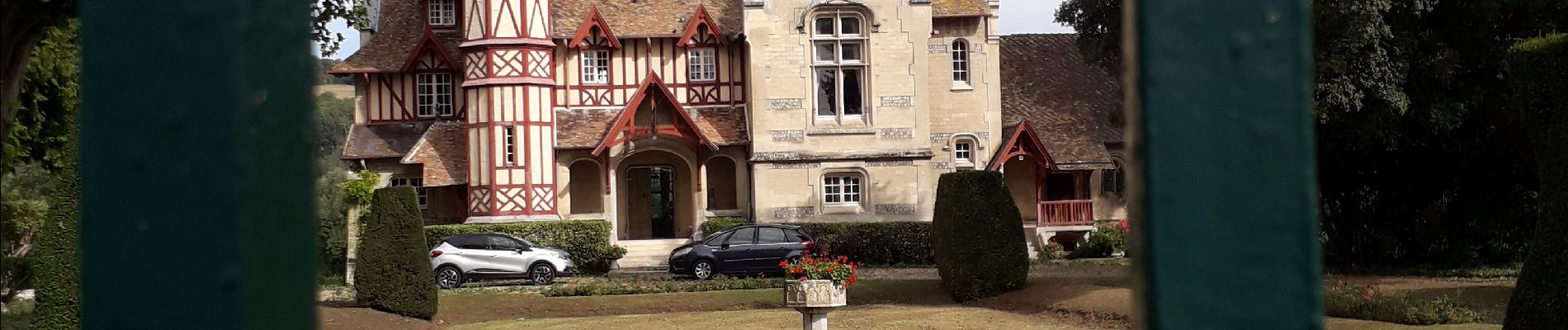
Photos


Positioning
Country:
France
Region :
Normandy
Department/Province :
Seine-Maritime
Municipality :
Cléon
Location:
Unknown
Start:(Dec)
Start:(UTM)
357038 ; 5464127 (31U) N.
Comments
Beau parcours sur les sentiers de campagne.
Cleon à Bédane en longeant le bord de Seine au coeur des jardins multicolores