


labyrinthe mais 2020

bena42
User
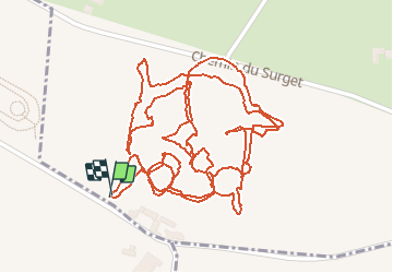

Length
2.6 km

Max alt
368 m

Uphill gradient
8 m
Km-Effort
2.7 km

Min alt
363 m

Downhill gradient
9 m
Boucle
Yes
Creation date :
2020-08-19 08:11:44.086
Updated on :
2020-08-19 09:30:46.688
1h18
Difficulty : Very easy

FREE GPS app for hiking
 SityTrail
IGN / Geographical institutes
SityTrail Plus
The world is yours!
About
Trail Walking of 2.6 km to be discovered at Auvergne-Rhône-Alpes, Loire, Saint-Cyr-les-Vignes. This trail is proposed by bena42.
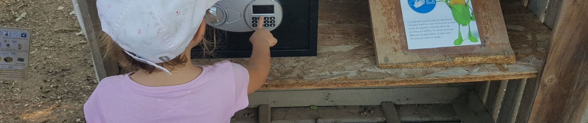
Photos

Positioning
Country:
France
Region :
Auvergne-Rhône-Alpes
Department/Province :
Loire
Municipality :
Saint-Cyr-les-Vignes
Location:
Unknown
Start:(Dec)
Start:(UTM)
599435 ; 5056745 (31T) N.
Comments