


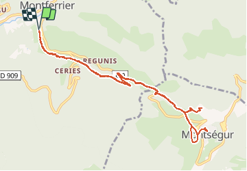

15.3 km | 31 km-effort

User


FREE GPS app for hiking
 SityTrail
IGN / Geographical institutes
SityTrail World
The world is yours!
Trail Walking of 12.6 km to be discovered at Occitania, Ariège, Montferrier. This trail is proposed by fab0202.
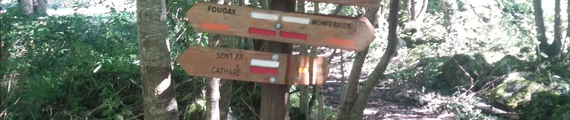
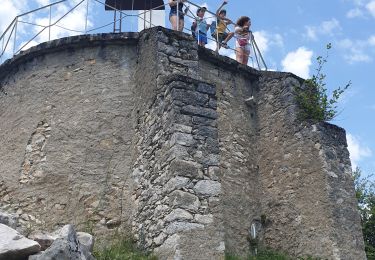
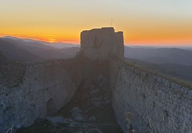
belle rando entre forêt et chateau de montsegur à visiter ainsi que son musée au village (le ticket permet de voir les 2). rando avec belle montée au chateau mais superbe vue


Walking
Electric bike
Walking

Walking
Walking

Walking
Snowshoes