


Batterie de Cuguret

PhilippeC54
User
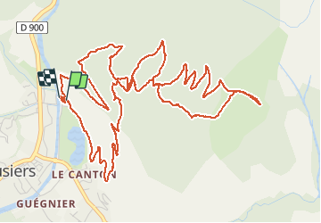

Length
9.2 km

Max alt
1873 m

Uphill gradient
647 m
Km-Effort
17.8 km

Min alt
1223 m

Downhill gradient
640 m
Boucle
Yes
Creation date :
2020-08-19 12:08:44.674
Updated on :
2020-08-19 15:54:56.466
2h42
Difficulty : Difficult

FREE GPS app for hiking
 SityTrail
IGN / Geographical institutes
SityTrail Plus
The world is yours!
About
Trail Walking of 9.2 km to be discovered at Provence-Alpes-Côte d'Azur, Alpes-de-Haute-Provence, Jausiers. This trail is proposed by PhilippeC54.
Positioning
Country:
France
Region :
Provence-Alpes-Côte d'Azur
Department/Province :
Alpes-de-Haute-Provence
Municipality :
Jausiers
Location:
Unknown
Start:(Dec)
Start:(UTM)
320078 ; 4921484 (32T) N.
Comments