


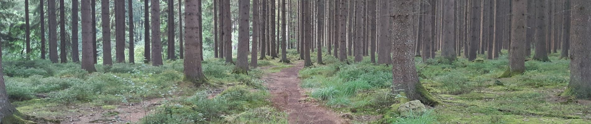
petergensfeld - rando propose par l office du tourisme ost belgien

stef789
User GUIDE


Length
14.7 km

Max alt
520 m

Uphill gradient
179 m
Km-Effort
17 km

Min alt
388 m

Downhill gradient
179 m
Boucle
Yes
Creation date :
2020-08-19 13:37:01.958
Updated on :
2020-08-19 17:49:06.186
4h01
Difficulty : Very easy

FREE GPS app for hiking
 SityTrail
IGN / Geographical institutes
SityTrail Plus
The world is yours!
About
Trail Walking of 14.7 km to be discovered at Wallonia, Liège, Raeren. This trail is proposed by stef789.
Photos


Positioning
Country:
Belgium
Region :
Wallonia
Department/Province :
Liège
Municipality :
Raeren
Location:
Raeren
Start:(Dec)
Start:(UTM)
300359 ; 5614287 (32U) N.
Comments