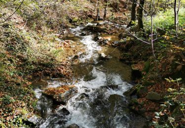
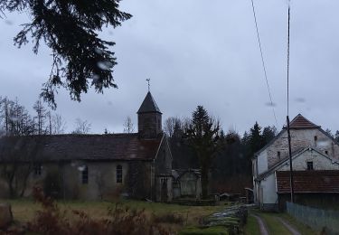
Trail Horseback riding Plancher-Bas - granges gidets - Photo
© OpenStreetMap contributors
Length
Length
7.9 km
Max alt
Max alt
551 m
Uphill gradient
Uphill gradient
151 m
Km-Effort
Km-Effort  
10.3 km
Min alt
Min alt
407 m
Downhill gradient
Downhill gradient
286 m
Boucle
Boucle
No
Creation date :
2020-08-20 07:38:17.306
Updated on :
2020-08-20 10:05:51.207

(0 Reviews)

Horseback riding
Horseback riding
2h26
Difficulty : Very easy

Scan this QR Code to open this trail in the SityTrail application

FREE GPS app for hiking

Logo SityTrail SityTrail

IGN / Geographical institutes

Download SityTrail from the App Store Download SityTrail from Google Play

Logo SityTrail SityTrail World

The world is yours!

Download SityTrail from the App Store Download SityTrail from Google Play Download SityTrail on Huawei AppGallery

About

Trail Horseback riding of 7.9 km to be discovered at Bourgogne-Franche-Comté, Haute-Saône, Plancher-Bas. This trail is proposed by Christelle75.

Elevation profile

Positioning

Country:
France
Region :
Bourgogne-Franche-Comté
Department/Province :
Haute-Saône
Municipality :
Plancher-Bas
Location:
Unknown
Start:(UTM)
332542 ; 5286819 (32T) N.

Trails nearby

Trail Walking Auxelles-Haut - planche belles filles par auxelle haut - Photo
Walking
benoit747

Walking

Medium
(3)
Auxelles-Haut, Bourgogne-Franche-Comté, Territoire-de-Belfort, France
14.6 km | 23 km-effort
4h 55min
Yes
Trail Walking Sermamagny - Veronne PC - Photo
Walking
Papamoju

Walking

Very easy
(2)
Sermamagny, Bourgogne-Franche-Comté, Territoire-de-Belfort, France
8.1 km | 9 km-effort
1h 59min
Yes
Trail Walking Lepuix - Giromagny - sentier des mines  - Photo
Walking
Bart2015

Walking

Easy
Lepuix, Bourgogne-Franche-Comté, Territoire-de-Belfort, France
4.6 km | 6.8 km-effort
2h 2min
Yes
Trail Horseback riding Lachapelle-sous-Chaux - Lachapelle-sous-chaux / Planche des belles filles - Photo
Horseback riding
battaglia

Horseback riding

Difficult
(1)
Lachapelle-sous-Chaux, Bourgogne-Franche-Comté, Territoire-de-Belfort, France
25 km | 37 km-effort
4h 26min
Yes
Trail Walking Auxelles-Haut - auxelles hauts - Photo
Walking
Raymond Bacholle

Walking

Medium
Auxelles-Haut, Bourgogne-Franche-Comté, Territoire-de-Belfort, France
16 km | 27 km-effort
4h 20min
Yes
Trail Walking Giromagny - Le sentier des mines - Giromagny - Photo
Walking
tracegps

Walking

Medium
(1)
Giromagny, Bourgogne-Franche-Comté, Territoire-de-Belfort, France
6.4 km | 9.4 km-effort
2h 0min
Yes
Trail Walking Sermamagny - Le Malsaucy - Photo
Walking
ISATR

Walking

Very easy
Sermamagny, Bourgogne-Franche-Comté, Territoire-de-Belfort, France
9.7 km | 11.2 km-effort
2h 10min
Yes
Trail Walking Auxelles-Haut - boucle auxelles-haut, super planche et étang des belles filles  - Photo
Walking
fbienmuller

Walking

Medium
Auxelles-Haut, Bourgogne-Franche-Comté, Territoire-de-Belfort, France
15.2 km | 24 km-effort
4h 41min
Yes
Trail 4x4 Fresse - 06-02-22 Chevestraye-abbaye mont de vannes-route du Cugnot - Photo
4x4
annefrance70

4x4

Easy
Fresse, Bourgogne-Franche-Comté, Haute-Saône, France
23 km | 30 km-effort
1h 15min
No


Close
My subscriptions