Nessonvaux - Fraipont - Banneux - Trasenster

mumu.larandonneuse
User GUIDE
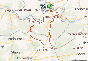

Length
15.7 km

Max alt
316 m

Uphill gradient
409 m
Km-Effort
21 km

Min alt
99 m

Downhill gradient
408 m
Boucle
Yes
Creation date :
2020-08-20 08:01:40.632
Updated on :
2020-08-20 12:37:16.343
4h00
Difficulty : Medium

FREE GPS app for hiking
 SityTrail
IGN / Geographical institutes
SityTrail Plus
The world is yours!
About
Trail Walking of 15.7 km to be discovered at Wallonia, Liège, Trooz. This trail is proposed by mumu.larandonneuse.
Description
D/A : parking de la gare à Nessonvaux
Montée vers Banneux par le chemin de croix (chemin de pèlerinage)
Pause : nombreux cafés sur l'esplanade à Banneux (9km)
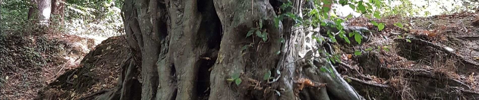
Photos


Positioning
Country:
Belgium
Region :
Wallonia
Department/Province :
Liège
Municipality :
Trooz
Location:
Fraipont
Start:(Dec)
Start:(UTM)
694120 ; 5605824 (31U) N.
Comments