


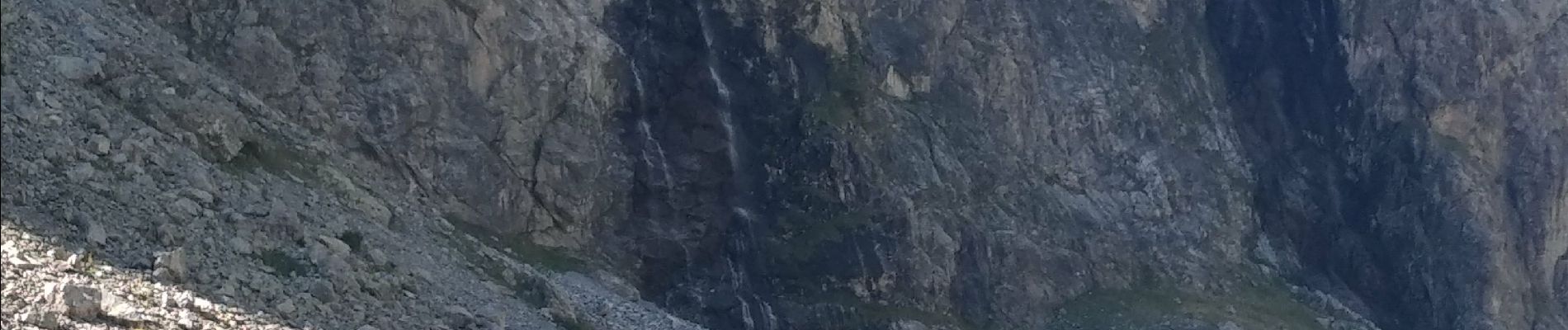
Villar d'Arène Lac d'Arsine Source de la Romange 21 août 2020 CAF Ecrins

TRIMAILLE
User
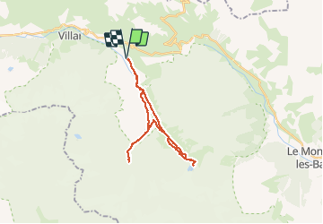

Length
26 km

Max alt
2462 m

Uphill gradient
980 m
Km-Effort
39 km

Min alt
1670 m

Downhill gradient
980 m
Boucle
Yes
Creation date :
2020-08-21 06:45:48.655
Updated on :
2020-09-14 16:00:43.618
8h13
Difficulty : Difficult

FREE GPS app for hiking
 SityTrail
IGN / Geographical institutes
SityTrail Plus
The world is yours!
About
Trail Walking of 26 km to be discovered at Provence-Alpes-Côte d'Azur, Hautes-Alpes, Villar-d'Arêne. This trail is proposed by TRIMAILLE.
Photos


Positioning
Country:
France
Region :
Provence-Alpes-Côte d'Azur
Department/Province :
Hautes-Alpes
Municipality :
Villar-d'Arêne
Location:
Unknown
Start:(Dec)
Start:(UTM)
292338 ; 4989670 (32T) N.
Comments