


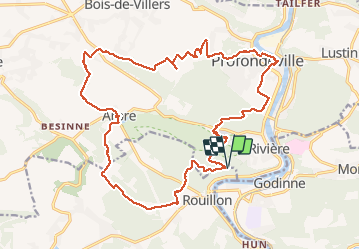

22 km | 28 km-effort

User GUIDE


FREE GPS app for hiking
 SityTrail
IGN / Geographical institutes
SityTrail World
The world is yours!
Trail Walking of 22 km to be discovered at Wallonia, Namur, Profondeville. This trail is proposed by rvapeldo.
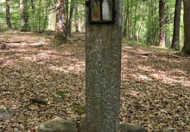
Belle balade dans la campagne autour d’Arbre et le long de la Meuse, à Profondeville et dans ses hauteurs (point de vue de la Couleuvrine, d’où l’on voit Godinne). Départ au parking des 7 Meuses, où il y a moyen de boire un verre ou de manger un morceau.


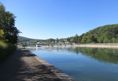
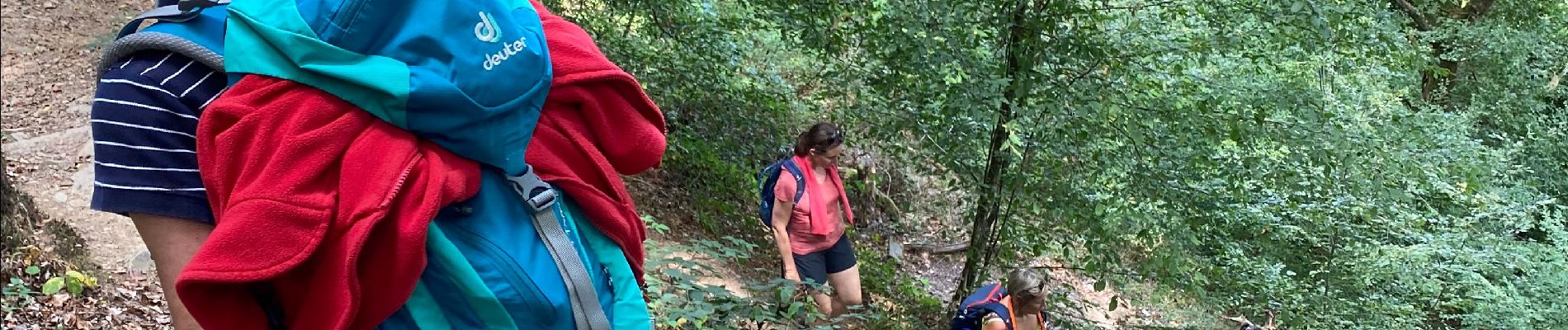
Walking
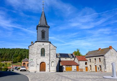
Walking

Walking

Walking

Walking
Walking

Walking

Walking

Walking