


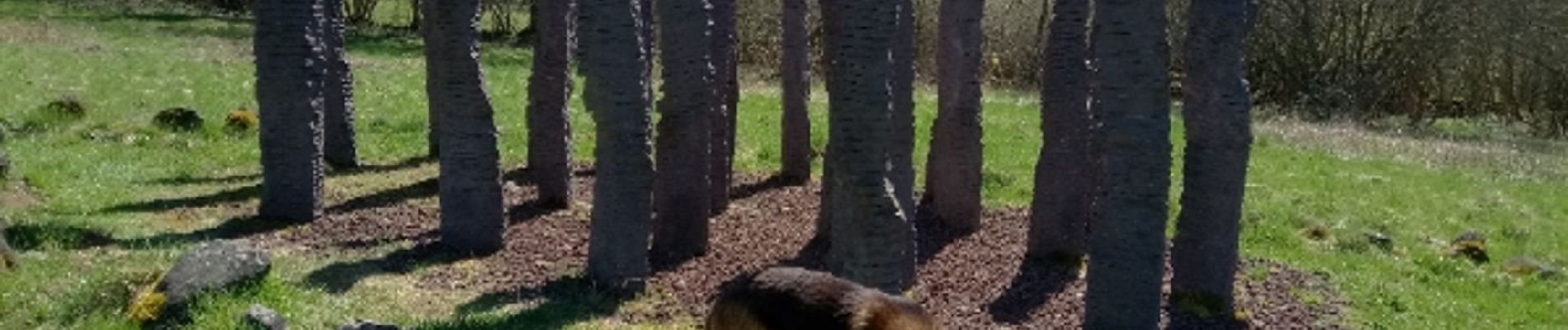
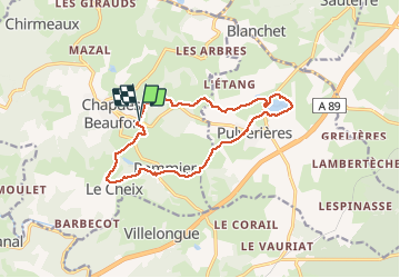
Les Pierres qui marchent et l'étang de Pulverières

Gegetop
User

Length
13.6 km

Max alt
852 m

Uphill gradient
284 m
Km-Effort
17.4 km

Min alt
740 m

Downhill gradient
282 m
Boucle
Yes
Creation date :
2020-08-24 08:48:02.651
Updated on :
2020-08-24 14:44:50.987
3h45
Difficulty : Very easy
3h25
Difficulty : Easy

FREE GPS app for hiking
 SityTrail
IGN / Geographical institutes
SityTrail Plus
The world is yours!
About
Trail Walking of 13.6 km to be discovered at Auvergne-Rhône-Alpes, Puy-de-Dôme, Chapdes-Beaufort. This trail is proposed by Gegetop.
Photos


Positioning
Country:
France
Region :
Auvergne-Rhône-Alpes
Department/Province :
Puy-de-Dôme
Municipality :
Chapdes-Beaufort
Location:
Unknown
Start:(Dec)
Start:(UTM)
490257 ; 5081688 (31T) N.
Comments