


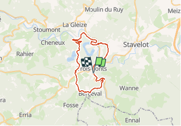
Trois-Ponts 27

pierlan
User

Length
22 km

Max alt
489 m

Uphill gradient
765 m
Km-Effort
33 km

Min alt
229 m

Downhill gradient
765 m
Boucle
Yes
Creation date :
2020-08-29 08:01:02.755
Updated on :
2020-08-29 08:21:08.151
4h00
Difficulty : Very easy

FREE GPS app for hiking
 SityTrail
IGN / Geographical institutes
SityTrail Plus
The world is yours!
About
Trail Trail of 22 km to be discovered at Wallonia, Liège, Trois-Ponts. This trail is proposed by pierlan.
Positioning
Country:
Belgium
Region :
Wallonia
Department/Province :
Liège
Municipality :
Trois-Ponts
Location:
Wanne
Start:(Dec)
Start:(UTM)
704300 ; 5583580 (31U) N.
Comments