


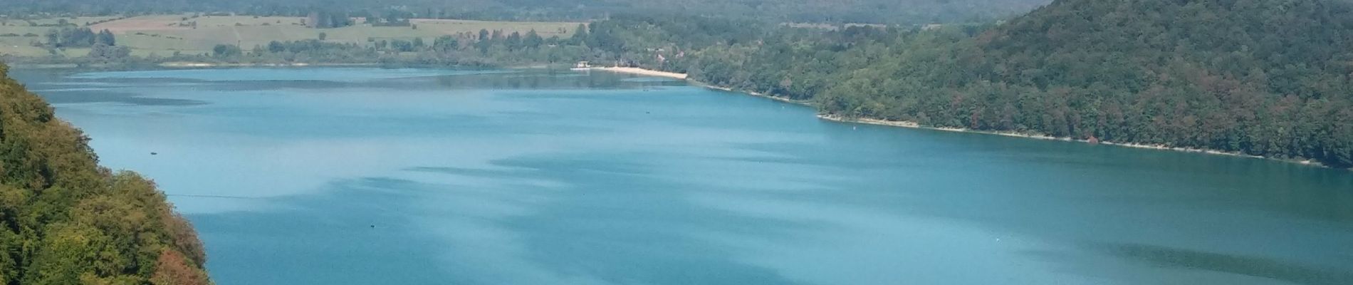
Lac de Chalain Marigny 1 sept 2020 CAF

TRIMAILLE
User


4h29
Difficulty : Very easy

FREE GPS app for hiking
 SityTrail
IGN / Geographical institutes
SityTrail Plus
The world is yours!
About
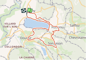
Trail Walking of 19.9 km to be discovered at Bourgogne-Franche-Comté, Jura, Marigny. This trail is proposed by TRIMAILLE.
Description
Départ du parking du camping de la Pergola. Agréable rando en bordure du lac et en hauteur. Au Km3,66 le sentier qui descend au lac est fermé en raison de glissements de terrain.
Entre le Km 12, et jusqu'au Km12,5 le sentier n'est pas évident à trouver, d'autant qu'il traverse un lapiaz.
Photos


Positioning
Comments