


Randonnée sports hirondelle BPJEPS

cps46
User

Length
41 km

Max alt
273 m

Uphill gradient
914 m
Km-Effort
53 km

Min alt
94 m

Downhill gradient
917 m
Boucle
Yes
Creation date :
2020-09-03 08:06:24.0
Updated on :
2020-09-03 10:23:48.051
2h18
Difficulty : Unknown

FREE GPS app for hiking
 SityTrail
IGN / Geographical institutes
SityTrail Plus
The world is yours!
About
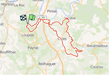
Trail Mountain bike of 41 km to be discovered at Occitania, Lot, Loupiac. This trail is proposed by cps46.
Positioning
Country:
France
Region :
Occitania
Department/Province :
Lot
Municipality :
Loupiac
Location:
Unknown
Start:(Dec)
Start:(UTM)
378325 ; 4965745 (31T) N.
Comments