


20200903-Gerberoy

doudet
User
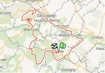

Length
24 km

Max alt
209 m

Uphill gradient
402 m
Km-Effort
29 km

Min alt
97 m

Downhill gradient
402 m
Boucle
Yes
Creation date :
2020-09-03 07:28:46.712
Updated on :
2020-09-04 10:26:07.738
6h59
Difficulty : Medium

FREE GPS app for hiking
 SityTrail
IGN / Geographical institutes
SityTrail Plus
The world is yours!
About
Trail Walking of 24 km to be discovered at Hauts-de-France, Oise, Hanvoile. This trail is proposed by doudet.
Description
Boucle A-R au départ d'Hanvoile
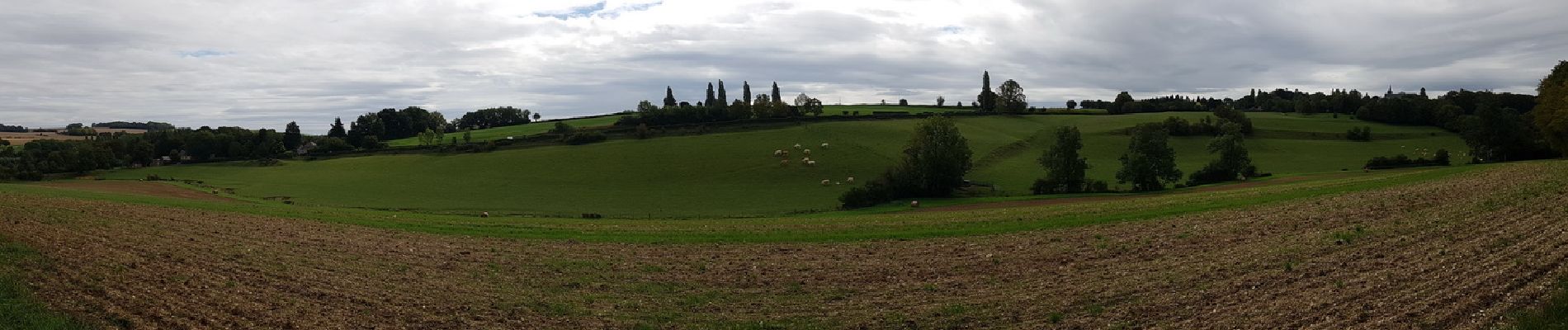
Photos


23 photos in total. Please click on a photo to see them all in the gallery.
Positioning
Country:
France
Region :
Hauts-de-France
Department/Province :
Oise
Municipality :
Hanvoile
Location:
Unknown
Start:(Dec)
Start:(UTM)
419190 ; 5484670 (31U) N.
Comments