


Chaudeyrolles Mont Signons 06-09-2020

nolsim
User
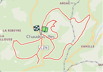

Length
17.6 km

Max alt
1451 m

Uphill gradient
488 m
Km-Effort
24 km

Min alt
1224 m

Downhill gradient
475 m
Boucle
Yes
Creation date :
2020-09-06 07:02:16.291
Updated on :
2020-09-06 12:37:07.394
4h14
Difficulty : Medium

FREE GPS app for hiking
 SityTrail
IGN / Geographical institutes
SityTrail Plus
The world is yours!
About
Trail Walking of 17.6 km to be discovered at Auvergne-Rhône-Alpes, Haute-Loire, Chaudeyrolles. This trail is proposed by nolsim.
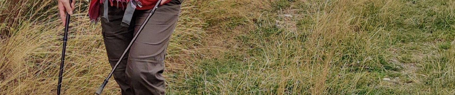
Photos


37 photos in total. Please click on a photo to see them all in the gallery.
Positioning
Country:
France
Region :
Auvergne-Rhône-Alpes
Department/Province :
Haute-Loire
Municipality :
Chaudeyrolles
Location:
Unknown
Start:(Dec)
Start:(UTM)
594877 ; 4978020 (31T) N.
Comments