


Etang de Montestaure

petit-pied
User

Length
14.8 km

Max alt
2304 m

Uphill gradient
1200 m
Km-Effort
31 km

Min alt
1175 m

Downhill gradient
1206 m
Boucle
Yes
Creation date :
2020-09-05 08:00:00.471
Updated on :
2020-09-06 19:13:46.315
3h49
Difficulty : Medium

FREE GPS app for hiking
 SityTrail
IGN / Geographical institutes
SityTrail Plus
The world is yours!
About
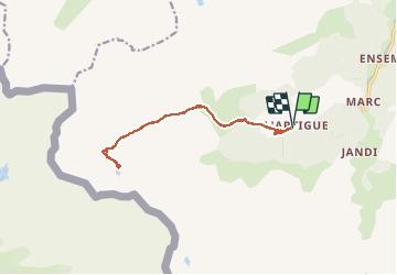
Trail Walking of 14.8 km to be discovered at Occitania, Ariège, Auzat. This trail is proposed by petit-pied.
Positioning
Country:
France
Region :
Occitania
Department/Province :
Ariège
Municipality :
Auzat
Location:
Unknown
Start:(Dec)
Start:(UTM)
371154 ; 4729895 (31T) N.
Comments