


Marnoz Fort St André Fort Belin Salin 8 sept 2020 CAF

TRIMAILLE
User
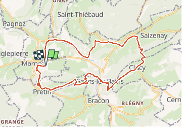

Length
21 km

Max alt
652 m

Uphill gradient
949 m
Km-Effort
34 km

Min alt
300 m

Downhill gradient
944 m
Boucle
Yes
Creation date :
2020-09-08 07:06:03.28
Updated on :
2020-09-09 10:07:23.996
5h22
Difficulty : Difficult

FREE GPS app for hiking
 SityTrail
IGN / Geographical institutes
SityTrail Plus
The world is yours!
About
Trail Walking of 21 km to be discovered at Bourgogne-Franche-Comté, Jura, Marnoz. This trail is proposed by TRIMAILLE.
Description
Départ du parking du cimetière de St Michel le Haut.
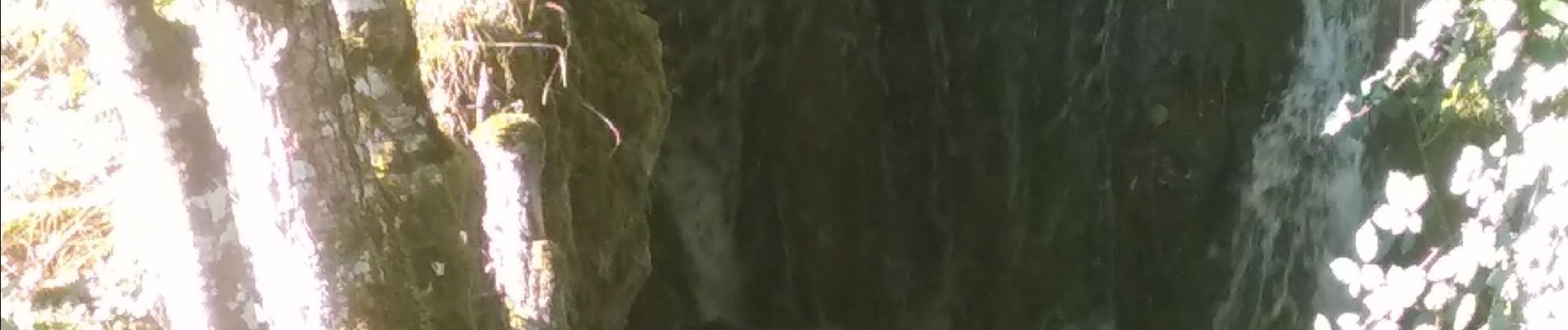
Kilomètre 15,20 le sentier était infranchissable en raison des brousailles et orties, ce qui nous a obligé de reprendre un court bout de route.
Photos


Positioning
Country:
France
Region :
Bourgogne-Franche-Comté
Department/Province :
Jura
Municipality :
Marnoz
Location:
Unknown
Start:(Dec)
Start:(UTM)
716267 ; 5203254 (31T) N.
Comments