Ondenval

gossim2
User
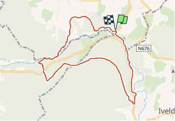

Length
10 km

Max alt
493 m

Uphill gradient
237 m
Km-Effort
13.1 km

Min alt
380 m

Downhill gradient
237 m
Boucle
Yes
Creation date :
2020-09-10 08:44:48.0
Updated on :
2020-09-10 11:49:03.496
3h03
Difficulty : Easy

FREE GPS app for hiking
 SityTrail
IGN / Geographical institutes
SityTrail Plus
The world is yours!
About
Trail Walking of 10 km to be discovered at Wallonia, Liège, Waimes. This trail is proposed by gossim2.
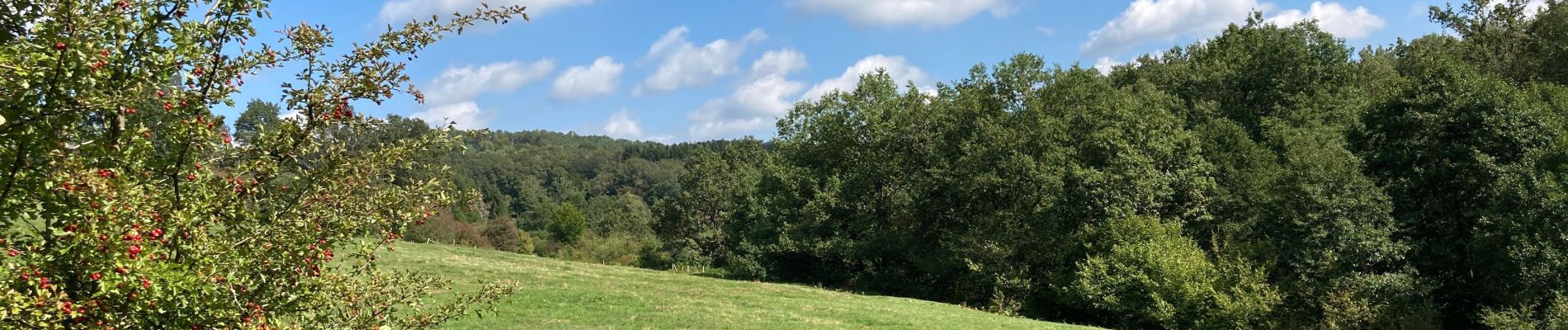
Description
Wandeling door bos langs Amblève.
Bois et Amblève.
Bevers/Castors
Photos


Positioning
Country:
Belgium
Region :
Wallonia
Department/Province :
Liège
Municipality :
Waimes
Location:
Waimes
Start:(Dec)
Start:(UTM)
294792 ; 5584961 (32U) N.
Comments