Trail Walking Die - La belle justine - Photo
 AIGUIER
AIGUIER

User

© OpenStreetMap contributors
Length
Length
13.7 km
Max alt
Max alt
845 m
Uphill gradient
Uphill gradient
519 m
Km-Effort
Km-Effort  
21 km
Min alt
Min alt
375 m
Downhill gradient
Downhill gradient
518 m
Boucle
Boucle
Yes
Creation date :
2020-09-10 07:34:07.961
Updated on :
2020-09-10 16:26:01.413

(0 Reviews)

Walking
Walking
3h01
Difficulty : Medium

Scan this QR Code to open this trail in the SityTrail application

FREE GPS app for hiking

Logo SityTrail SityTrail

IGN / Geographical institutes

Download SityTrail from the App Store Download SityTrail from Google Play

Logo SityTrail SityTrail Plus

The world is yours!

Download SityTrail from the App Store Download SityTrail from Google Play Download SityTrail on Huawei AppGallery

About

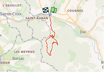
Trail Walking of 13.7 km to be discovered at Auvergne-Rhône-Alpes, Drôme, Die. This trail is proposed by AIGUIER.

Description

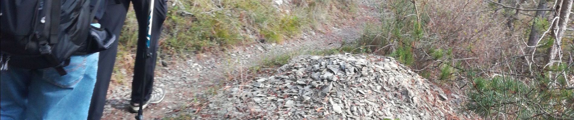
Belle rando, sentiers agréables sous un soleil timide, grands massifs montagneux, vu sur les rochers de la Belle Justine, un tronc d’arbre aux allures d’animal, déjeuner avec respect des distance, énorme falaises qui jouxte la Belle Justine, Bernard.

Elevation profile

Photos

Positioning

Country:
France
Region :
Auvergne-Rhône-Alpes
Department/Province :
Drôme
Municipality :
Die
Location:
Unknown
Start:(UTM)
684325 ; 4959618 (31T) N.


Close
My subscriptions