


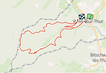

33 km | 64 km-effort

User


FREE GPS app for hiking
 SityTrail
IGN / Geographical institutes
SityTrail World
The world is yours!
Trail Walking of 10.9 km to be discovered at Grand Est, Haut-Rhin, Willer-sur-Thur. This trail is proposed by JCLUTT.
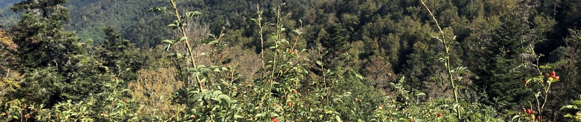
Belle randonnée souvent à couvert, appréciable par ce beau temps chaud, et casse-croûte au superbe abri du Blaufels avec une vue imprenable sur la vallée !
Seul bémol, c'est que l'abri est doté d'une cheminée et non d'un poêle.
L'expérience de l'hiver dernier, c'est qu'il a été impossible d'apporter une température acceptable à l'intérieur de l'abri ! Dommage !


Other activity

Walking

On foot

Walking

On foot
Walking
Walking
Walking
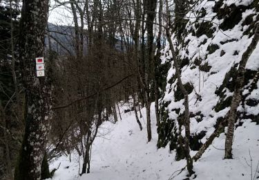
Snowshoes