


Cernay

Eve - Line
User
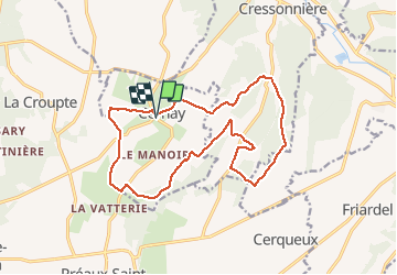

Length
16.1 km

Max alt
199 m

Uphill gradient
208 m
Km-Effort
18.8 km

Min alt
114 m

Downhill gradient
208 m
Boucle
Yes
Creation date :
2020-09-13 06:33:20.495
Updated on :
2020-09-13 09:53:30.858
3h19
Difficulty : Medium

FREE GPS app for hiking
 SityTrail
IGN / Geographical institutes
SityTrail Plus
The world is yours!
About
Trail Walking of 16.1 km to be discovered at Normandy, Calvados, Cernay. This trail is proposed by Eve - Line.
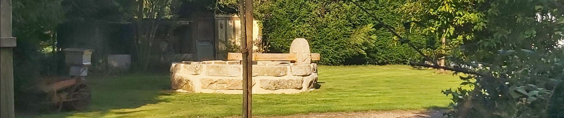
Photos


Positioning
Country:
France
Region :
Normandy
Department/Province :
Calvados
Municipality :
Cernay
Location:
Unknown
Start:(Dec)
Start:(UTM)
304346 ; 5433154 (31U) N.
Comments