


bois Amay Colruyt

michele23
User
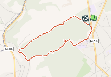

Length
4.1 km

Max alt
203 m

Uphill gradient
98 m
Km-Effort
5.4 km

Min alt
101 m

Downhill gradient
105 m
Boucle
Yes
Creation date :
2020-09-13 13:50:10.796
Updated on :
2020-09-13 15:38:02.214
1h06
Difficulty : Medium

FREE GPS app for hiking
 SityTrail
IGN / Geographical institutes
SityTrail Plus
The world is yours!
About
Trail Walking of 4.1 km to be discovered at Wallonia, Liège, Amay. This trail is proposed by michele23.
Description
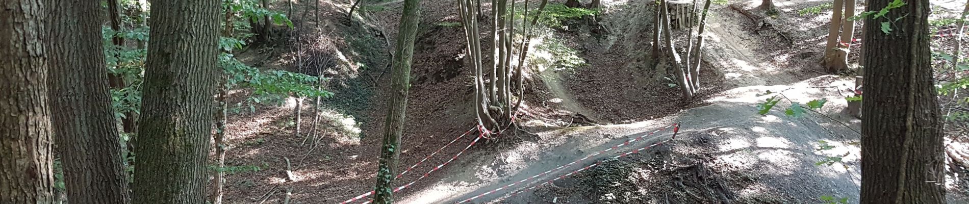
on perd facilement le chemin avec le tracé pour VTT.
Photos


Positioning
Country:
Belgium
Region :
Wallonia
Department/Province :
Liège
Municipality :
Amay
Location:
Amay
Start:(Dec)
Start:(UTM)
663233 ; 5603481 (31U) N.
Comments