


le plateau d'En-Vau

gdela
User

Length
5.1 km

Max alt
149 m

Uphill gradient
220 m
Km-Effort
8.1 km

Min alt
8 m

Downhill gradient
236 m
Boucle
No
Creation date :
2020-09-14 21:25:16.496
Updated on :
2020-09-14 21:35:24.898
--
Difficulty : Medium

FREE GPS app for hiking
 SityTrail
IGN / Geographical institutes
SityTrail Plus
The world is yours!
About
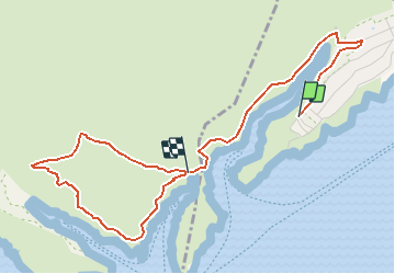
Trail On foot of 5.1 km to be discovered at Provence-Alpes-Côte d'Azur, Bouches-du-Rhône, Cassis. This trail is proposed by gdela.
Description
PR 25, moyen, 8 km 3h00, dénivelée 300m
descente rocailleuse (2&3 et 4&3) puis montée escarpée (3&4)
revenir par le même parcours(3&1)
terminus de la navette car au départ de Marseille
Positioning
Country:
France
Region :
Provence-Alpes-Côte d'Azur
Department/Province :
Bouches-du-Rhône
Municipality :
Cassis
Location:
Unknown
Start:(Dec)
Start:(UTM)
704646 ; 4786914 (31T) N.
Comments