


20200915-Charleval

doudet
User
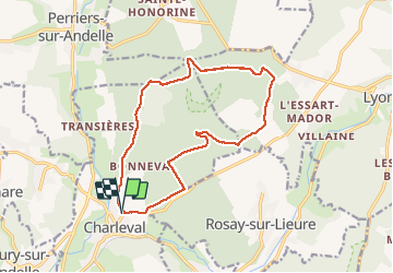

Length
14.1 km

Max alt
169 m

Uphill gradient
237 m
Km-Effort
17.3 km

Min alt
39 m

Downhill gradient
237 m
Boucle
Yes
Creation date :
2020-09-15 11:58:20.171
Updated on :
2020-09-16 07:46:21.875
3h42
Difficulty : Medium

FREE GPS app for hiking
 SityTrail
IGN / Geographical institutes
SityTrail Plus
The world is yours!
About
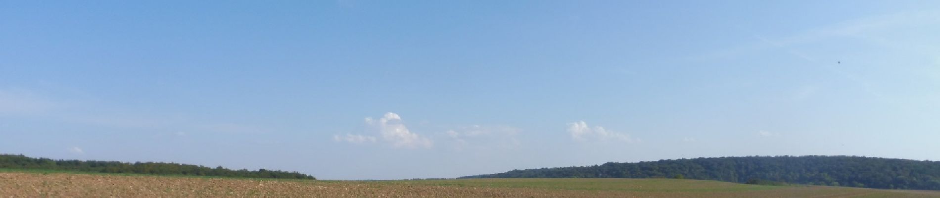
Trail Walking of 14.1 km to be discovered at Normandy, Eure, Charleval. This trail is proposed by doudet.
Description
Boucle A-R au départ du cimetière de Charleval
Photos


Positioning
Country:
France
Region :
Normandy
Department/Province :
Eure
Municipality :
Charleval
Location:
Unknown
Start:(Dec)
Start:(UTM)
382846 ; 5470394 (31U) N.
Comments