


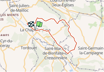
La Chapelle Yvon

Eve - Line
User

Length
13.4 km

Max alt
176 m

Uphill gradient
156 m
Km-Effort
15.5 km

Min alt
81 m

Downhill gradient
155 m
Boucle
Yes
Creation date :
2020-09-17 06:57:11.999
Updated on :
2020-09-17 09:43:26.962
2h45
Difficulty : Easy

FREE GPS app for hiking
 SityTrail
IGN / Geographical institutes
SityTrail Plus
The world is yours!
About
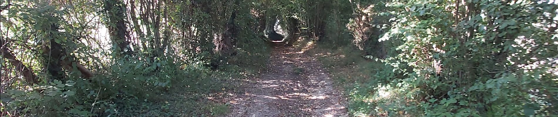
Trail Walking of 13.4 km to be discovered at Normandy, Calvados, Valorbiquet. This trail is proposed by Eve - Line.
Photos


Positioning
Country:
France
Region :
Normandy
Department/Province :
Calvados
Municipality :
Valorbiquet
Location:
Unknown
Start:(Dec)
Start:(UTM)
305625 ; 5437968 (31U) N.
Comments