montagne de Parves

begnez
User
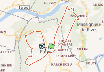

Length
10.6 km

Max alt
599 m

Uphill gradient
416 m
Km-Effort
16.1 km

Min alt
268 m

Downhill gradient
416 m
Boucle
Yes
Creation date :
2020-09-17 07:29:16.347
Updated on :
2020-09-17 11:13:19.668
3h30
Difficulty : Easy

FREE GPS app for hiking
 SityTrail
IGN / Geographical institutes
SityTrail Plus
The world is yours!
About
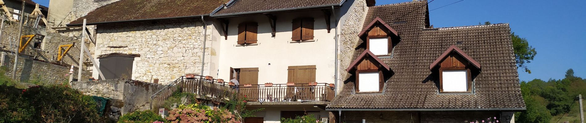
Trail Walking of 10.6 km to be discovered at Auvergne-Rhône-Alpes, Ain, Parves-et-Nattages. This trail is proposed by begnez.
Photos

Positioning
Country:
France
Region :
Auvergne-Rhône-Alpes
Department/Province :
Ain
Municipality :
Parves-et-Nattages
Location:
Unknown
Start:(Dec)
Start:(UTM)
713245 ; 5069196 (31T) N.
Comments