


croix de belledonne

trailer38
User

Length
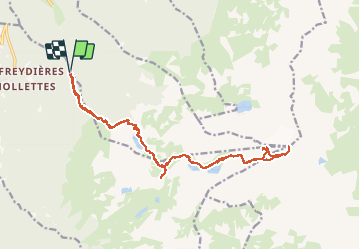
22 km

Max alt
2900 m

Uphill gradient
1619 m
Km-Effort
44 km

Min alt
1381 m

Downhill gradient
1624 m
Boucle
Yes
Creation date :
2020-09-18 05:00:08.266
Updated on :
2020-09-18 18:32:28.244
10h40
Difficulty : Very difficult

FREE GPS app for hiking
 SityTrail
IGN / Geographical institutes
SityTrail Plus
The world is yours!
About
Trail Trail of 22 km to be discovered at Auvergne-Rhône-Alpes, Isère, Revel. This trail is proposed by trailer38.
Positioning
Country:
France
Region :
Auvergne-Rhône-Alpes
Department/Province :
Isère
Municipality :
Revel
Location:
Unknown
Start:(Dec)
Start:(UTM)
728823 ; 5007798 (31T) N.
Comments