


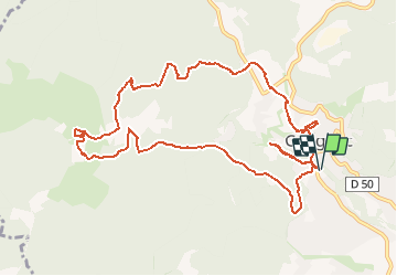

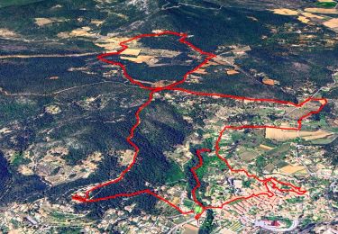
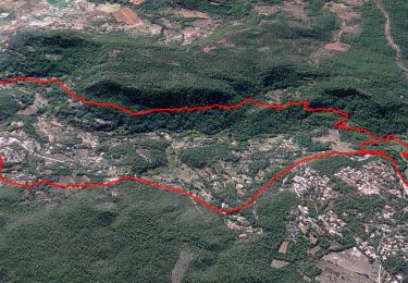
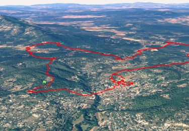
12.1 km | 16.5 km-effort

... Le plaisir d'être bien ensemble


FREE GPS app for hiking
 SityTrail
IGN / Geographical institutes
SityTrail World
The world is yours!
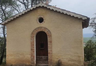
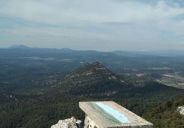
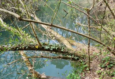
Trail On foot of 12.6 km to be discovered at Provence-Alpes-Côte d'Azur, Var, Cotignac. This trail is proposed by Rando-FCL-Puget-JOURNEE.
Walking
Walking
Walking
Walking
Walking
Walking
Walking
Walking
Walking
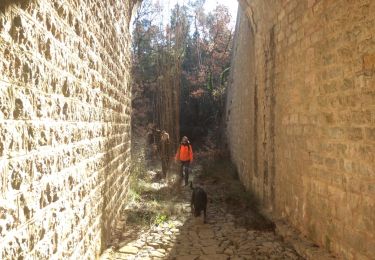
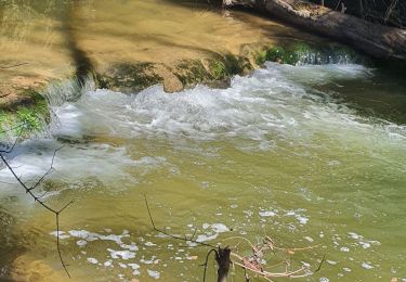
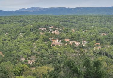
très belle rando,à la découverte de cotignac et de ses chapelles au grès des chemins