


Donzy le Perthuis la fontaine des croix page 66

grasgilbert
User
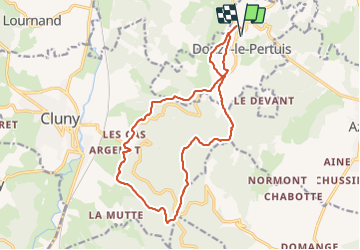

Length
16.8 km

Max alt
553 m

Uphill gradient
490 m
Km-Effort
23 km

Min alt
295 m

Downhill gradient
496 m
Boucle
Yes
Creation date :
2020-09-24 07:38:01.992
Updated on :
2024-06-13 16:10:10.566
5h18
Difficulty : Very difficult

FREE GPS app for hiking
 SityTrail
IGN / Geographical institutes
SityTrail Plus
The world is yours!
About
Trail Walking of 16.8 km to be discovered at Bourgogne-Franche-Comté, Saône-et-Loire, Donzy-le-Pertuis. This trail is proposed by grasgilbert.
Description
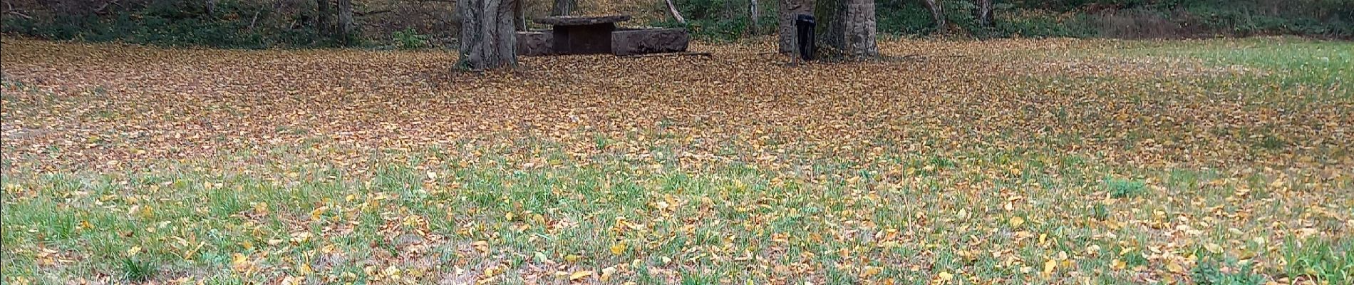
Très ombragée peut-être faite été
Mangé à la croix Montmain
Photos

Positioning
Country:
France
Region :
Bourgogne-Franche-Comté
Department/Province :
Saône-et-Loire
Municipality :
Donzy-le-Pertuis
Location:
Unknown
Start:(Dec)
Start:(UTM)
632088 ; 5145879 (31T) N.
Comments
bien ombragée
Randonnee sympa effectee dans le sens anti horaire. Quelques portions goudrons un peu gênante cependant. La plupart de temps en forêt, donc peu de vue mais de l ombre. Ce 1 décembre brumeux l ombre était un partout. merci a son auteur