


Pépoiri en boucle

PEBREJOSIANE
User


Length
7.8 km

Max alt
2657 m

Uphill gradient
623 m
Km-Effort
16.1 km

Min alt
2033 m

Downhill gradient
624 m
Boucle
Yes
Creation date :
2020-09-29 07:09:03.483
Updated on :
2020-09-29 14:28:21.999
4h03
Difficulty : Easy

FREE GPS app for hiking
 SityTrail
IGN / Geographical institutes
SityTrail Plus
The world is yours!
About
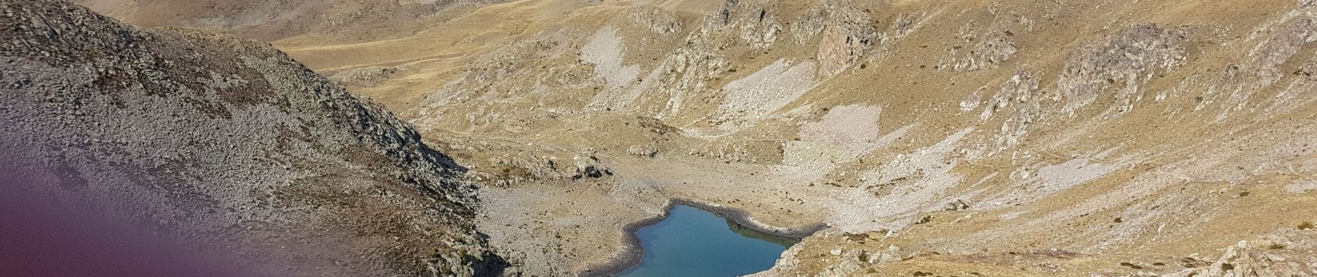
Trail Walking of 7.8 km to be discovered at Provence-Alpes-Côte d'Azur, Maritime Alps, Valdeblore. This trail is proposed by PEBREJOSIANE.
Photos


Positioning
Country:
France
Region :
Provence-Alpes-Côte d'Azur
Department/Province :
Maritime Alps
Municipality :
Valdeblore
Location:
Unknown
Start:(Dec)
Start:(UTM)
354836 ; 4884386 (32T) N.
Comments