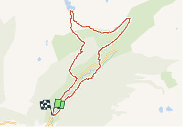

11 km | 21 km-effort

User


FREE GPS app for hiking
 SityTrail
IGN / Geographical institutes
SityTrail World
The world is yours!
Trail Walking of 10.7 km to be discovered at Andorra. This trail is proposed by c.chehere.
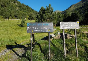
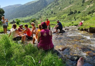
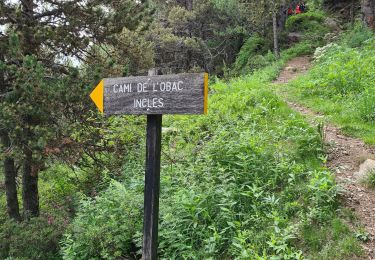
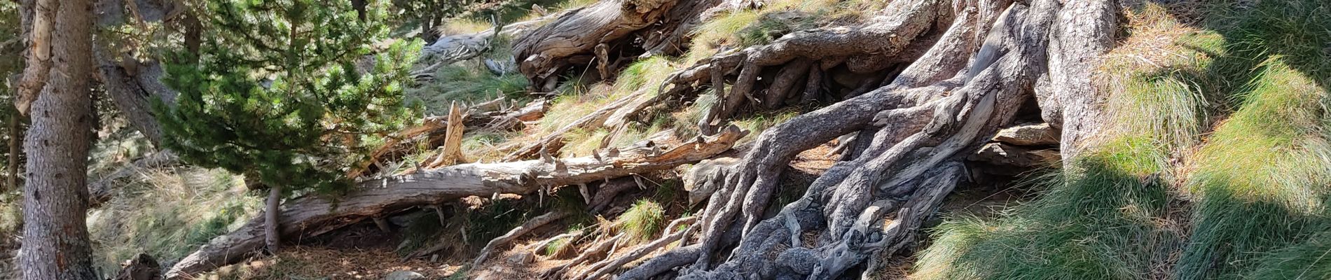
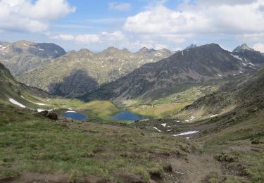
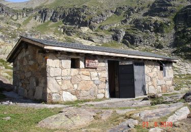
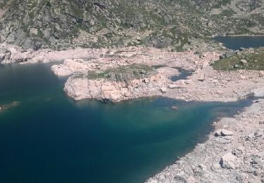
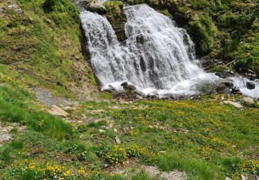
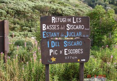
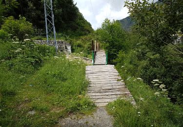
Se garer sur le premier parking (payant 3 € pour 8 heures). Prendre un bon sentier avec des panneaux d'information. Traverser le ruisseau par un pont, puis la route. Prendre un sentier en façe et monter jusquu'à rencontre un sentier balisé jaune/rouge. Suivre celui-ci jusqu'au lac de la cabane Sorda. Redescendre sur Inclès par un sentier balisé "rond jaune"
Revenir au parking par la route.


Walking