


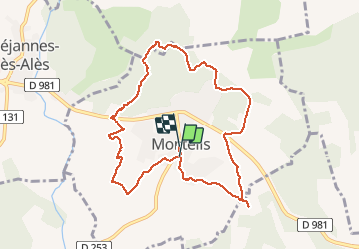
monteils

GOIOLIRIBES
User

Length
9.8 km

Max alt
247 m

Uphill gradient
197 m
Km-Effort
12.4 km

Min alt
132 m

Downhill gradient
181 m
Boucle
Yes
Creation date :
2020-10-01 07:35:39.471
Updated on :
2020-10-01 11:38:00.39
4h01
Difficulty : Very easy

FREE GPS app for hiking
 SityTrail
IGN / Geographical institutes
SityTrail Plus
The world is yours!
About
Trail Walking of 9.8 km to be discovered at Occitania, Gard, Monteils. This trail is proposed by GOIOLIRIBES.
Positioning
Country:
France
Region :
Occitania
Department/Province :
Gard
Municipality :
Monteils
Location:
Unknown
Start:(Dec)
Start:(UTM)
594546 ; 4882276 (31T) N.
Comments