


La Chapelle de Valchevrière

crocau
User
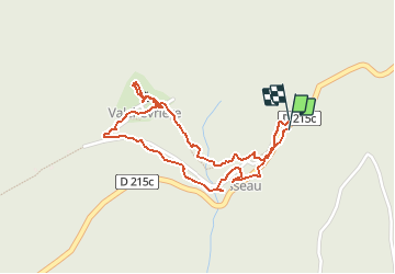

Length
2.1 km

Max alt
1211 m

Uphill gradient
100 m
Km-Effort
3.5 km

Min alt
1110 m

Downhill gradient
125 m
Boucle
Yes
Creation date :
2020-10-03 15:29:58.172
Updated on :
2020-10-03 16:10:43.013
39m
Difficulty : Very easy

FREE GPS app for hiking
 SityTrail
IGN / Geographical institutes
SityTrail Plus
The world is yours!
About
Trail Walking of 2.1 km to be discovered at Auvergne-Rhône-Alpes, Isère, Villard-de-Lans. This trail is proposed by crocau.
Description
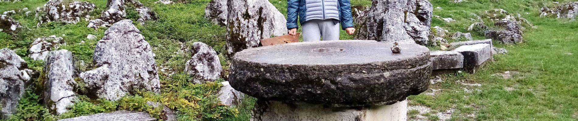
Mini balade patrimoniale
Photos


Positioning
Country:
France
Region :
Auvergne-Rhône-Alpes
Department/Province :
Isère
Municipality :
Villard-de-Lans
Location:
Unknown
Start:(Dec)
Start:(UTM)
696459 ; 4993140 (31T) N.
Comments