


le ravin des arcs arsel

labarone
User


7h00
Difficulty : Difficult

FREE GPS app for hiking
 SityTrail
IGN / Geographical institutes
SityTrail Plus
The world is yours!
About
Trail Walking of 17.4 km to be discovered at Occitania, Hérault, Notre-Dame-de-Londres. This trail is proposed by labarone.
Description
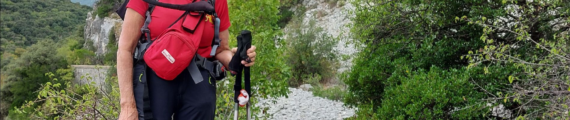
tres belle rando voir photos
attention premiere partie difficile en descente. Ensuite dans le ravin tres attention autour des marmittes ...personne sensible au vertige s abstenir. rando a faire car splendide !
Photos


39 photos in total. Please click on a photo to see them all in the gallery.
Positioning
Comments