


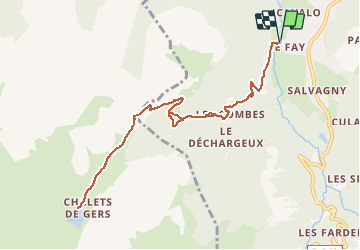


19.8 km | 37 km-effort

User


FREE GPS app for hiking
 SityTrail
IGN / Geographical institutes
SityTrail World
The world is yours!
Trail Walking of 10.6 km to be discovered at Auvergne-Rhône-Alpes, Upper Savoy, Sixt-Fer-à-Cheval. This trail is proposed by Philindy26.
Départ du Pont des Nants (768 m), commune de Sixt-Fer-à-Cheval au hameau du Fay...
Géolocalisation (Google Maps) : https://goo.gl/maps/GMRCTb3fkRQSQMsJ8 (46°02'52.1"N / 6°45'52.5"E ou 46.047794, 6.764569).
Montée par Englène (850 m), les Challenles (1310 m),
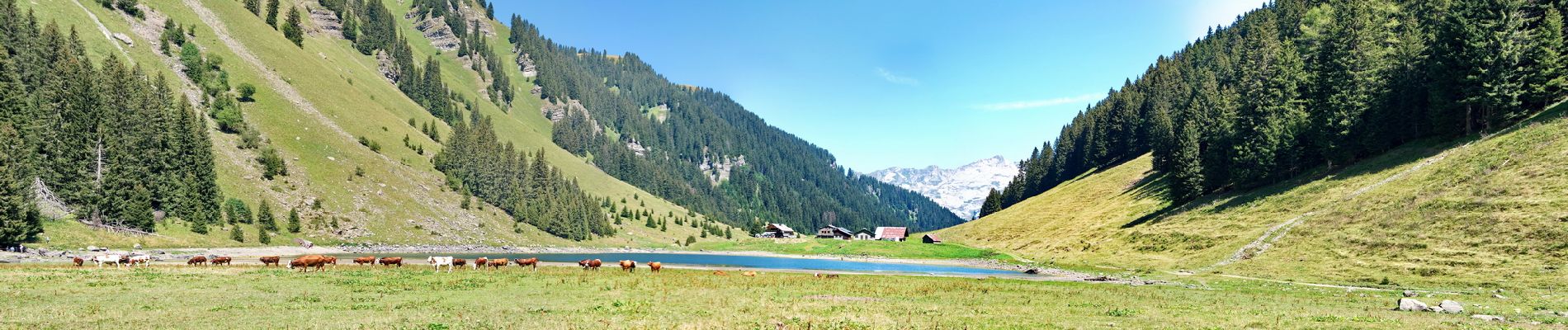
Puis suivre le GR96 pour atteindre le lac de Gers (1544 m) en passant par la Pépinière (1520 m).
Le retour s'effectuera par le même chemin...


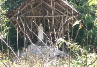
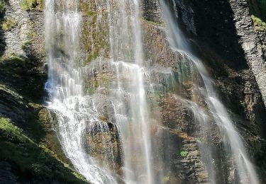
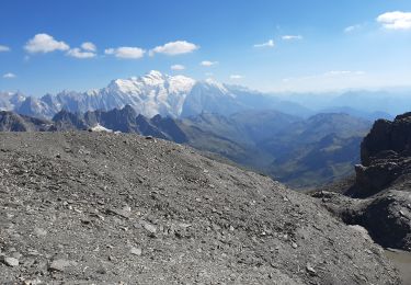
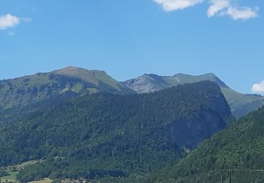
30 photos in total. Please click on a photo to see them all in the gallery.

Walking
Walking
Walking

Walking
Walking
Walking

Walking
Walking
Walking