PRESQU'ÎLE DE SAINT TROPEZ

jean-marie.parachini
User

Length
12.2 km

Max alt
90 m

Uphill gradient
192 m
Km-Effort
14.7 km

Min alt
0 m

Downhill gradient
191 m
Boucle
Yes
Creation date :
2020-10-06 07:39:52.442
Updated on :
2020-10-06 18:08:34.135
5h19
Difficulty : Medium

FREE GPS app for hiking
 SityTrail
IGN / Geographical institutes
SityTrail Plus
The world is yours!
About
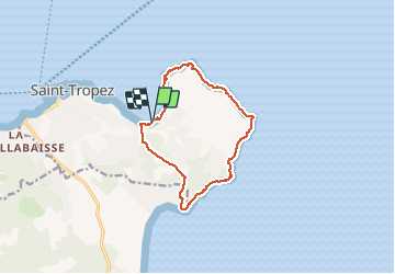
Trail Walking of 12.2 km to be discovered at Provence-Alpes-Côte d'Azur, Var, Saint-Tropez. This trail is proposed by jean-marie.parachini.
Description
circuit de la baie des Canebiers vers pointe de la Rabiou cap de Saint-Tropez cap des Salins pointe de Capon cap du Pinet et retour à baie des Canebiers par Capon.
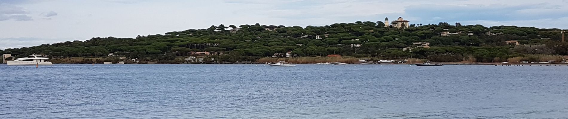
Photos


Positioning
Country:
France
Region :
Provence-Alpes-Côte d'Azur
Department/Province :
Var
Municipality :
Saint-Tropez
Location:
Unknown
Start:(Dec)
Start:(UTM)
310570 ; 4792912 (32T) N.
Comments