


Olette Canaveilles

robertperello
User
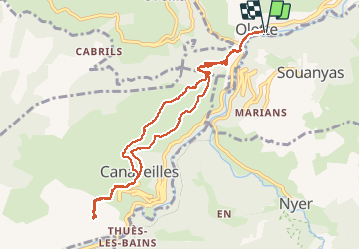

Length
10.8 km

Max alt
1025 m

Uphill gradient
512 m
Km-Effort
17.6 km

Min alt
614 m

Downhill gradient
511 m
Boucle
Yes
Creation date :
2020-10-07 07:25:52.0
Updated on :
2020-10-07 13:14:45.569
3h22
Difficulty : Unknown

FREE GPS app for hiking
 SityTrail
IGN / Geographical institutes
SityTrail Plus
The world is yours!
About
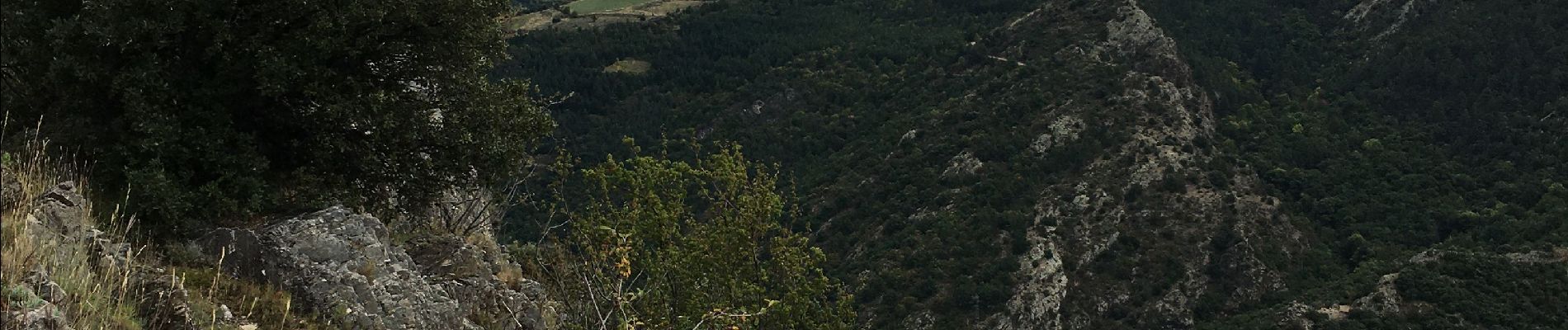
Trail Walking of 10.8 km to be discovered at Occitania, Pyrénées-Orientales, Olette. This trail is proposed by robertperello.
Description
Moyen plus
Photos


Positioning
Country:
France
Region :
Occitania
Department/Province :
Pyrénées-Orientales
Municipality :
Olette
Location:
Unknown
Start:(Dec)
Start:(UTM)
440216 ; 4711650 (31T) N.
Comments