


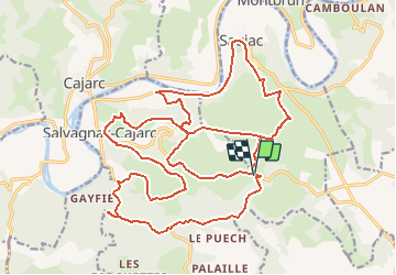

9.7 km | 13 km-effort


User


FREE GPS app for hiking
 SityTrail
IGN / Geographical institutes
SityTrail World
The world is yours!
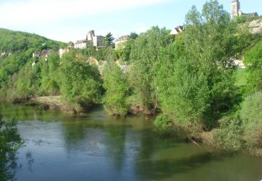
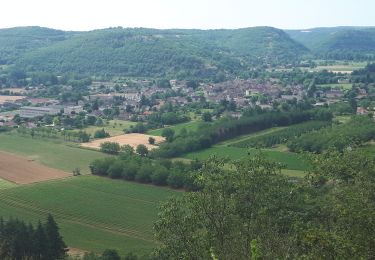
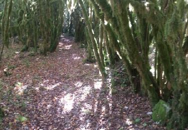
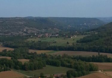
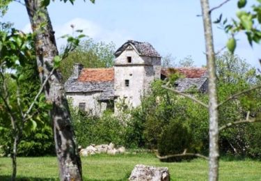
Trail Mountain bike of 31 km to be discovered at Occitania, Aveyron, Salvagnac-Cajarc. This trail is proposed by Gerard_Soulie.
Walking
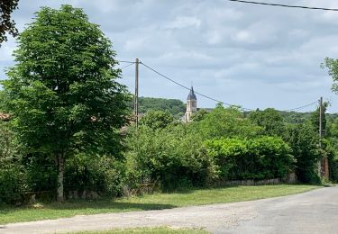
Walking
Walking
Walking
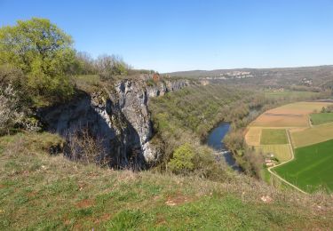
Mountain bike
Mountain bike
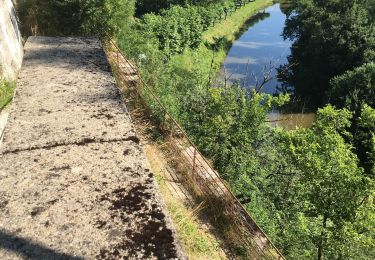
Walking

Walking