


moterfil debutm

ballay
User

Length
7.4 km

Max alt
112 m

Uphill gradient
134 m
Km-Effort
9.2 km

Min alt
58 m

Downhill gradient
155 m
Boucle
No
Creation date :
2020-10-08 12:21:40.356
Updated on :
2020-10-08 14:34:02.6
2h11
Difficulty : Easy

FREE GPS app for hiking
 SityTrail
IGN / Geographical institutes
SityTrail Plus
The world is yours!
About
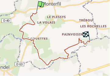
Trail Walking of 7.4 km to be discovered at Brittany, Ille-et-Vilaine, Monterfil. This trail is proposed by ballay.
Positioning
Country:
France
Region :
Brittany
Department/Province :
Ille-et-Vilaine
Municipality :
Monterfil
Location:
Unknown
Start:(Dec)
Start:(UTM)
575438 ; 5323754 (30U) N.
Comments