


rate

Frings
User

Length
5.9 km

Max alt
2839 m

Uphill gradient
517 m
Km-Effort
12.8 km

Min alt
2318 m

Downhill gradient
515 m
Boucle
Yes
Creation date :
2014-12-10 00:00:00.0
Updated on :
2014-12-10 00:00:00.0
2h18
Difficulty : Unknown

FREE GPS app for hiking
 SityTrail
IGN / Geographical institutes
SityTrail Plus
The world is yours!
About
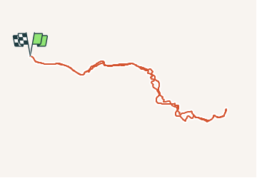
Trail Walking of 5.9 km to be discovered at Van, Çatak. This trail is proposed by Frings.
Positioning
Country:
Turkey
Region :
Van
Department/Province :
Çatak
Municipality :
Unknown
Location:
Unknown
Start:(Dec)
Start:(UTM)
344545 ; 4223331 (38S) N.
Comments