


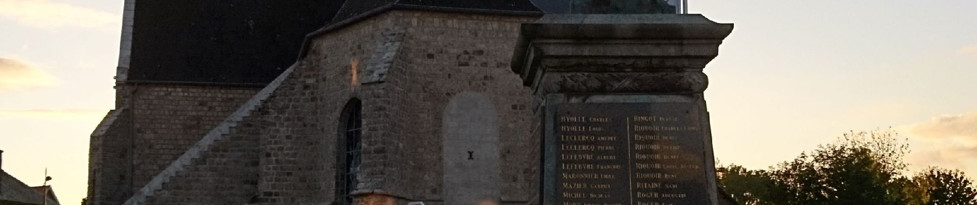
boucle Arleux Hamel Paluel

BrassensJC
User
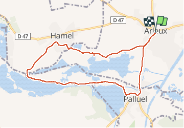

Length
8.8 km

Max alt
46 m

Uphill gradient
48 m
Km-Effort
9.4 km

Min alt
32 m

Downhill gradient
47 m
Boucle
Yes
Creation date :
2020-10-11 14:38:09.939
Updated on :
2020-10-12 14:33:50.487
2h02
Difficulty : Easy

FREE GPS app for hiking
 SityTrail
IGN / Geographical institutes
SityTrail Plus
The world is yours!
About
Trail Walking of 8.8 km to be discovered at Hauts-de-France, Nord, Arleux. This trail is proposed by BrassensJC.
Photos

Positioning
Country:
France
Region :
Hauts-de-France
Department/Province :
Nord
Municipality :
Arleux
Location:
Unknown
Start:(Dec)
Start:(UTM)
507476 ; 5569894 (31U) N.
Comments