


arsel de blauzac au pont saint nicolas

labarone
User
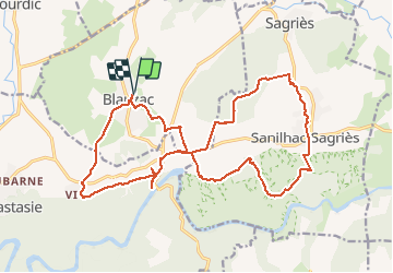

Length
23 km

Max alt
179 m

Uphill gradient
368 m
Km-Effort
28 km

Min alt
45 m

Downhill gradient
368 m
Boucle
Yes
Creation date :
2020-10-13 07:29:11.242
Updated on :
2020-10-13 14:51:16.149
6h41
Difficulty : Easy

FREE GPS app for hiking
 SityTrail
IGN / Geographical institutes
SityTrail Plus
The world is yours!
About
Trail Walking of 23 km to be discovered at Occitania, Gard, Blauzac. This trail is proposed by labarone.
Description
long mais facile
seule belle vue le pont et le gardon
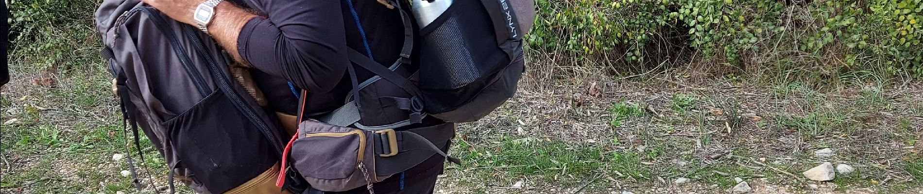
Photos


Positioning
Country:
France
Region :
Occitania
Department/Province :
Gard
Municipality :
Blauzac
Location:
Unknown
Start:(Dec)
Start:(UTM)
609957 ; 4868682 (31T) N.
Comments