Cereste-Montjustin

janussity
User
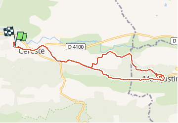

Length
11.6 km

Max alt
573 m

Uphill gradient
319 m
Km-Effort
15.8 km

Min alt
374 m

Downhill gradient
316 m
Boucle
Yes
Creation date :
2020-10-18 07:05:38.499
Updated on :
2020-10-18 11:48:07.871
3h12
Difficulty : Medium

FREE GPS app for hiking
 SityTrail
IGN / Geographical institutes
SityTrail Plus
The world is yours!
About
Trail Walking of 11.6 km to be discovered at Provence-Alpes-Côte d'Azur, Alpes-de-Haute-Provence, Céreste. This trail is proposed by janussity.
Description
Beau temps très frais ce matin.
Gelée blanche au 18 octobre.
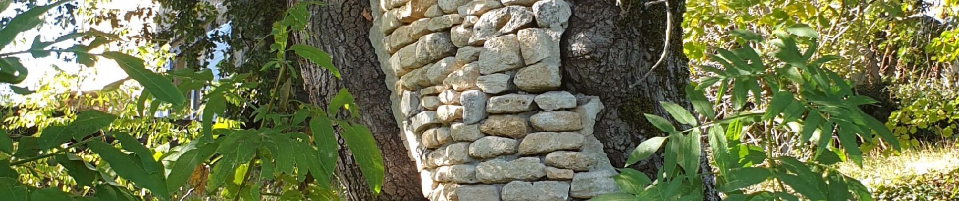
Photos


Positioning
Country:
France
Region :
Provence-Alpes-Côte d'Azur
Department/Province :
Alpes-de-Haute-Provence
Municipality :
Céreste
Location:
Unknown
Start:(Dec)
Start:(UTM)
707681 ; 4859195 (31T) N.
Comments