


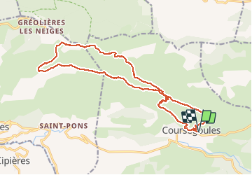
Sommet du Cheiron depuis Coursegoules

aris
User

Length
21 km

Max alt
1762 m

Uphill gradient
1049 m
Km-Effort
35 km

Min alt
1014 m

Downhill gradient
1049 m
Boucle
Yes
Creation date :
2020-10-18 06:56:26.464
Updated on :
2020-10-18 18:56:47.476
7h08
Difficulty : Medium

FREE GPS app for hiking
 SityTrail
IGN / Geographical institutes
SityTrail Plus
The world is yours!
About
Trail Walking of 21 km to be discovered at Provence-Alpes-Côte d'Azur, Maritime Alps, Coursegoules. This trail is proposed by aris.
Description
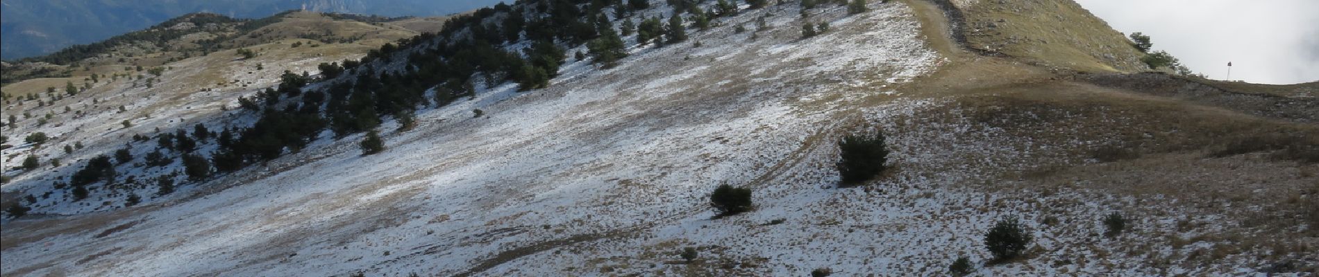
Longue randonnée en crète vers le sommet du Cheiron, retour par le plateau. Belles vues sur le Mercantour, la mer, la vallée du Loup ..
Photos

Positioning
Country:
France
Region :
Provence-Alpes-Côte d'Azur
Department/Province :
Maritime Alps
Municipality :
Coursegoules
Location:
Unknown
Start:(Dec)
Start:(UTM)
342922 ; 4850756 (32T) N.
Comments