Trail Walking Santeuil - Lavoir de Gouline - Photo
 Fky78
Fky78

User

© OpenStreetMap contributors
Length
Length
10 km
Max alt
Max alt
113 m
Uphill gradient
Uphill gradient
125 m
Km-Effort
Km-Effort  
11.7 km
Min alt
Min alt
54 m
Downhill gradient
Downhill gradient
124 m
Boucle
Boucle
Yes
Creation date :
2020-10-18 12:27:56.536
Updated on :
2020-10-18 15:52:18.687

(1 Reviews)

Walking
Walking
2h31
Difficulty : Easy

Scan this QR Code to open this trail in the SityTrail application

FREE GPS app for hiking

Logo SityTrail SityTrail

IGN / Geographical institutes

Download SityTrail from the App Store Download SityTrail from Google Play

Logo SityTrail SityTrail World

The world is yours!

Download SityTrail from the App Store Download SityTrail from Google Play Download SityTrail on Huawei AppGallery

About

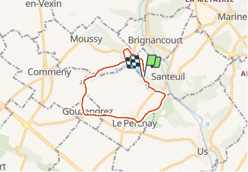
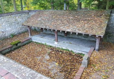
Trail Walking of 10 km to be discovered at Ile-de-France, Val-d'Oise, Santeuil. This trail is proposed by Fky78.

Elevation profile

Photos

Positioning

Country:
France
Region :
Ile-de-France
Department/Province :
Val-d'Oise
Municipality :
Santeuil
Location:
Unknown
Start:(UTM)
422511 ; 5441933 (31U) N.

Comments

Please log in to post a review or rate the element


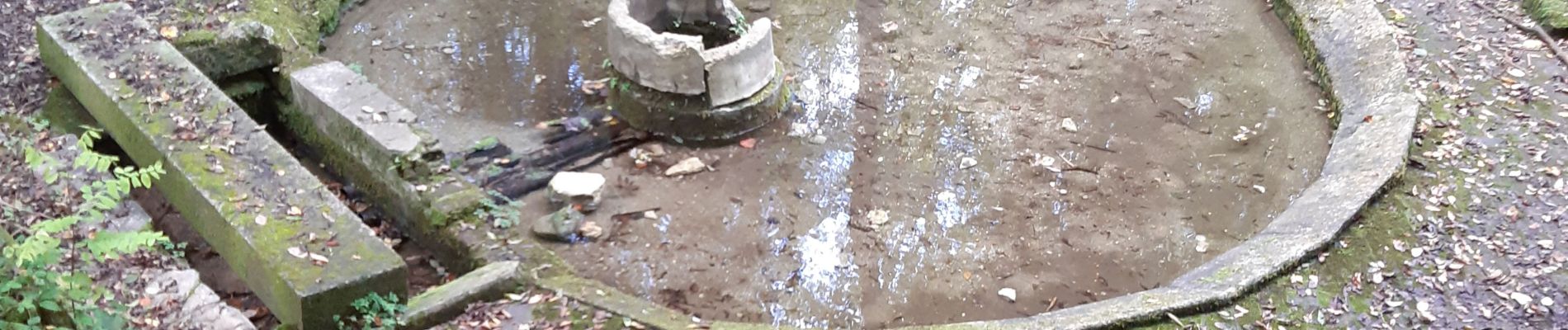
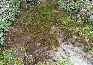
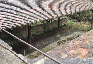
randonnée agréable, ombragée


Trails nearby

Trail Walking Théméricourt - Théméricourt - La vallée de l''Aubette - Photo
Walking
marcel.F

Walking

Easy
(1)
Théméricourt, Ile-de-France, Val-d'Oise, France
10.4 km | 12.3 km-effort
2h 42min
Yes
Trail Walking Le Perchay - le perchay etang de valliere santeuil - Photo
Walking
jeang95

Walking

Very easy
(2)
Le Perchay, Ile-de-France, Val-d'Oise, France
6.9 km | 8.1 km-effort
1h 34min
Yes
Trail Walking Us - US - La chaussée Brunehaut - Photo
Walking
marcel.F

Walking

Easy
(1)
Us, Ile-de-France, Val-d'Oise, France
11 km | 13 km-effort
2h 50min
Yes
Trail Walking Commeny - Commeny - L'eau et le pain - Photo
Walking
marcel.F

Walking

Easy
(4)
Commeny, Ile-de-France, Val-d'Oise, France
13.2 km | 15.1 km-effort
3h 18min
Yes
Trail Walking Moussy - Moussy - Photo
Walking
Fky78

Walking

Medium
(1)
Moussy, Ile-de-France, Val-d'Oise, France
8.8 km | 10.2 km-effort
2h 18min
Yes
Trail Walking Commeny - Kimrny - Photo
Walking
avdem

Walking

Very easy
Commeny, Ile-de-France, Val-d'Oise, France
13.8 km | 15.7 km-effort
3h 21min
Yes
Trail On foot Santeuil - Le tour du Grand Paris via le GR1 - Etape 4  - Photo
On foot
chessyca

On foot

Difficult
Santeuil, Ile-de-France, Val-d'Oise, France
34 km | 39 km-effort
8h 58min
No
Trail On foot Le Perchay - Boucle du Perchay - Photo
On foot
PRO

On foot

Easy
Le Perchay, Ile-de-France, Val-d'Oise, France
13.2 km | 15 km-effort
3h 24min
Yes
Trail Walking Santeuil - Autour de Santeuil - Photo
Walking
tbrunet

Walking

Very easy
Santeuil, Ile-de-France, Val-d'Oise, France
8.3 km | 9.8 km-effort
2h 18min
Yes


Close
My subscriptions